SPATIAL MANAGER FOR BRICSCAD
(Source: Bricsys)
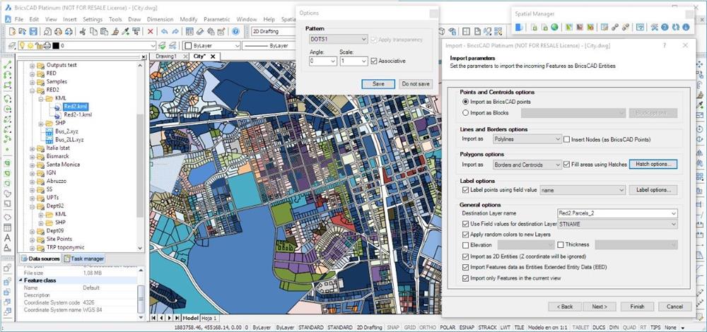
Spatial Manager is powerful plugin designed to help BricsCAD users import, export and manage spatial data in a simple, fast, exact, inexpensive and which includes many possibilities not seen so far in BricsCAD. Spatial Manager comes in a application that runs inside BricsCAD allows the user to import and export geospatial data between geospatial files, data servers or data stores with BricsCAD drawings.
- Import into BricsCAD
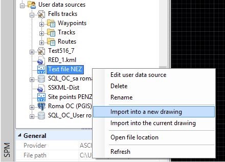
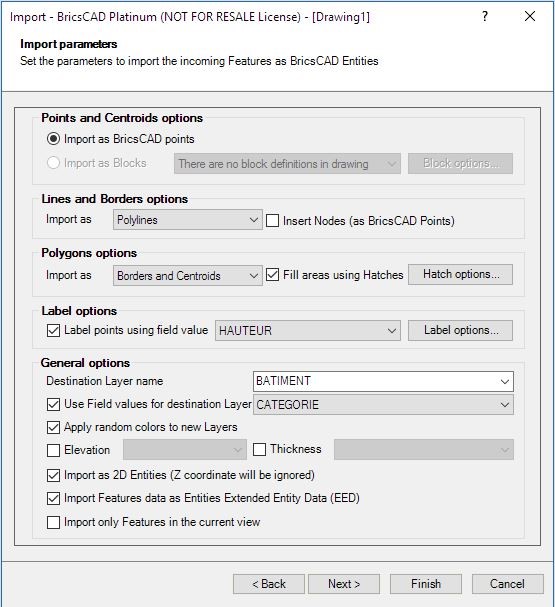
Spatial Manager allow import spatial data into BricsCAD data.
Support for programs as: Google Earth (KML or KMZ), OpenStreetMap (OSM or PBF), Shapefiles (SHP), GPS, Points, MapInfo, PostGIS, SQL server, SQLite, etc.
(Source: Bricsys)
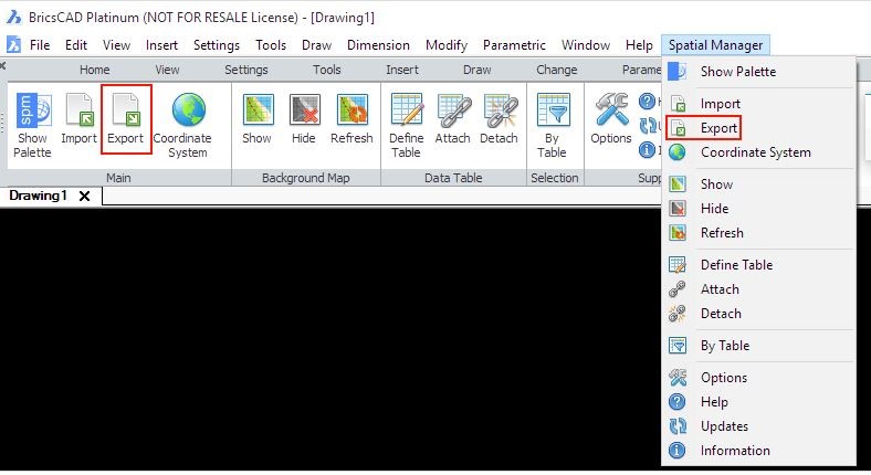
- Export from BricsCAD
Spatial Manager allows export entities from the drawing to spatial files or databases, and saved their Extended Entity Data – EED as alphanumeric data tables for use to programs as Google Earth (KML or KMZ), Shapefiles (SHP), Points, MapInfo, PostGIS, SQL server, SQLite, etc.
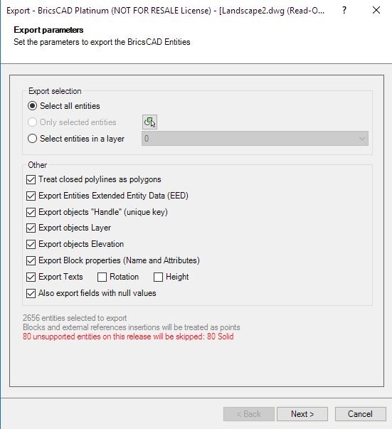
Source: Bricsys
- Transformation of coordinates
Spatial Manager provide many options Coordinate System (CRS) for the source data. The user can choose appropriate CRSs from a complete CRS list for user’s appropriate.
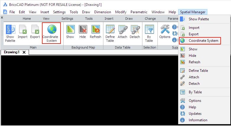
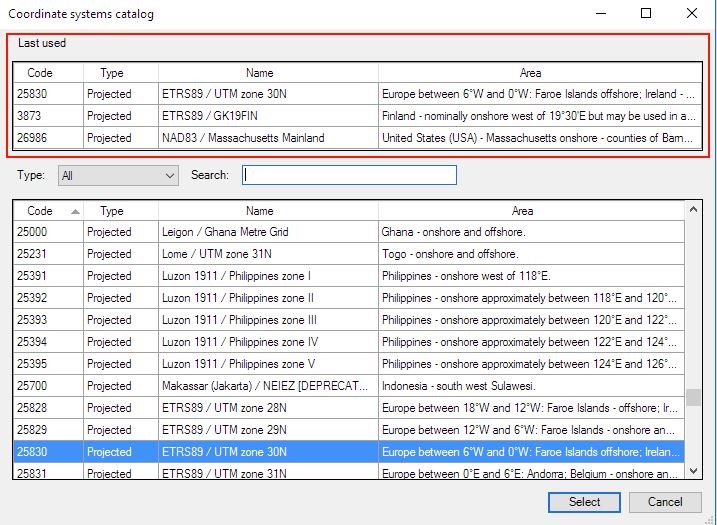
Source: Bricsys
- Backgrounds Maps
Spatial Manager allow choose background map from many source spatial data as OpenStreetMap, Bing, MapBox, etc. The map images will automatically updated when the drawing view changes.
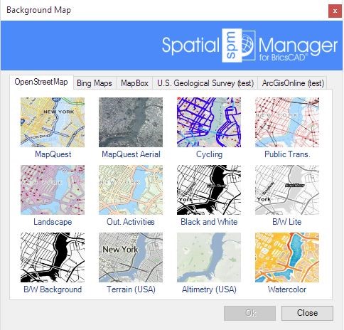
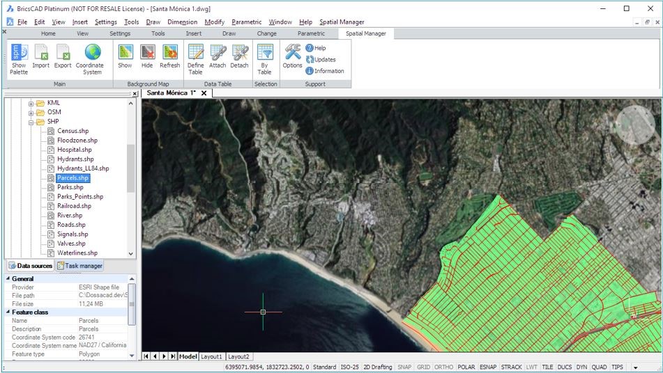
(Source: Bricsys)
- Spatial Manager in BricsCAD help user easy manage and edit data or fields data in panel that they have been assigned.
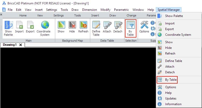
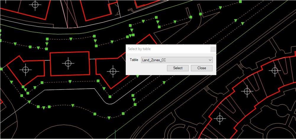
- User data sources
Spatial Manager incorporates the UDS technology to help BricsCAD easily connect with spatial database servers, or data stores. User can define the path (with their own connection parameters) to a particular spatial data file.
Spatial Manager in BricsCAD with interface simple, intuitive and productive and pay one only, you will receive a perpetual licensen, no periodic fees.
To know more information, please visit to website:
https://www.bricsys.com/common/news.jsp?c=apps&item=407
(In the article that uses some referenced information from the Bricsys)


