Alfatech Vietnam Co., Ltd


BricsCAD and Automapki
AERIAL AND SATELLITE BACKGROUND IMAGE IN DWG
You have a drawing was designed, you want to add more details for this drawing, you want to know the result without the measurement or design again. An application of BricsCAD can do…
Automapki application allows to insert web map tiles directly into DWG drawings and create satellite or aerial background image for the selected working area. This feature gives BricsCAD user a new possibility to design.
Based on user defined working area, Automapki automatically download overlaping web map tiles, merge, wrap into currently selected geographical coordinate system and create one image that is finally inserted into the current drawing model space. The satellite background georeferenced TIFF image is saved in the selected local path and can be easily reused in other DWG based projects.
Describle:
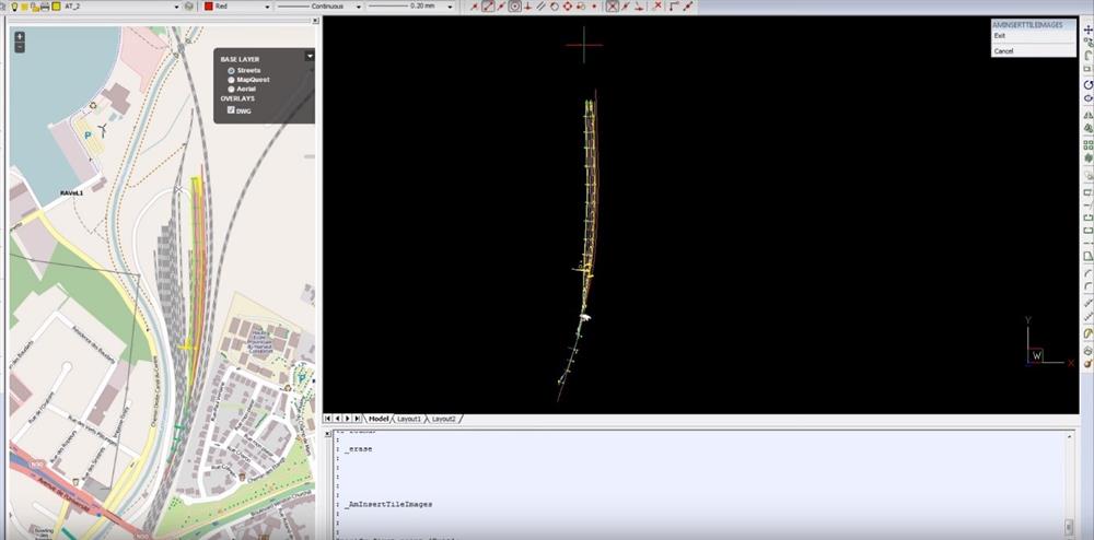
Your project on drawing
You want to insert web map on drawing
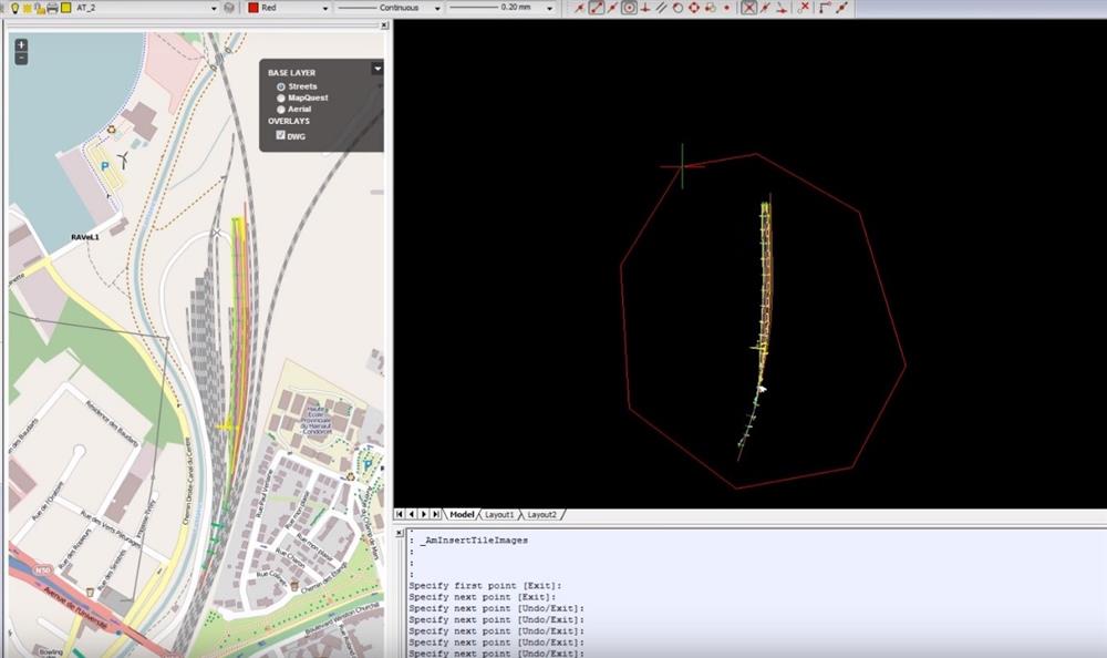
Define the local that insert web map
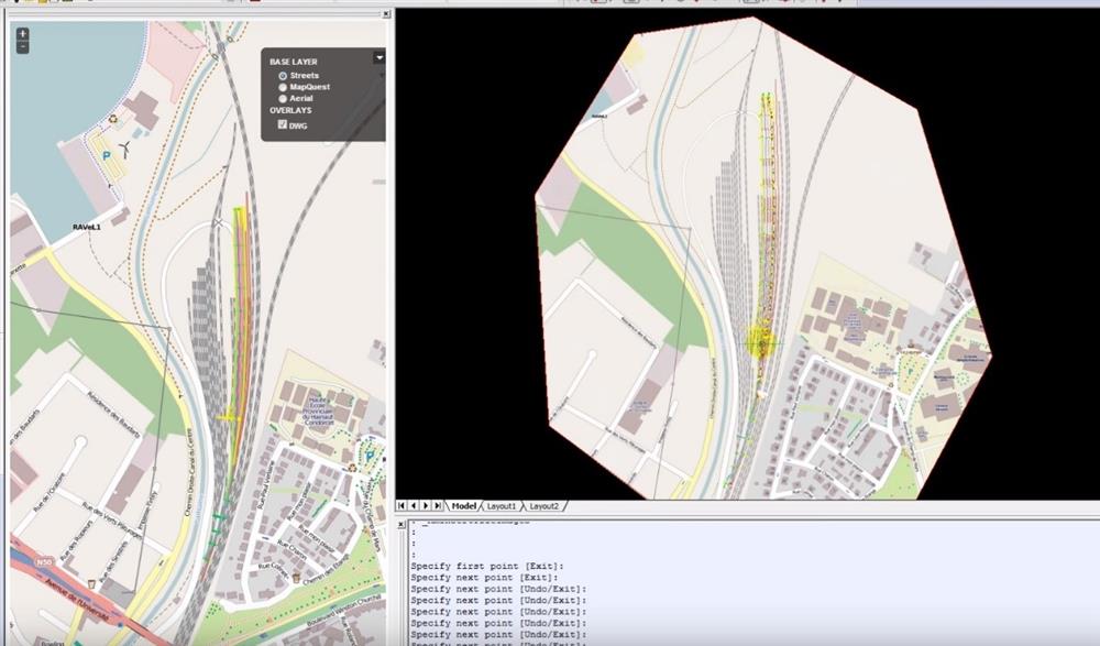
At this local, Automapki automatically download overlaping web map tiles into currently selected geographical coordinate system and create one image that is finally inserted into the current drawing model space
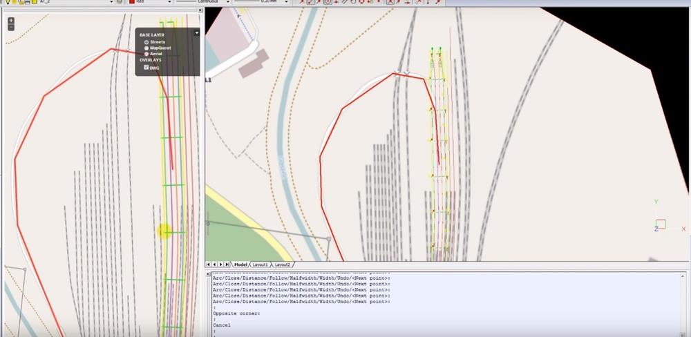
You can design more details in your draw, new details are displayed on web of Automapki
Good luck for your experience!
Contact us:
https://www.facebook.com/alfatechvn
https://www.facebook.com/Bricscadvn/
BRICSCAD SIMPLE AND EFFECTIVE